Belper to Duffield, Station to Station Walk
Scenic Station to Station Walks – Walk 2: Belper to Duffield
Distance 6 miles – starting at Belper Station
All walks have been carefully waymarked by green discs bearing a coloured arrow. Yellow indicates footpath status to be used by walkers. Blue arrows indicate bridleway status and can be enjoyed by walkers, cyclists and horseriders. All the discs bear the legend Derwent Valley Walks.
This is Walk 2 on this leaflet: Station to Station Walks Duffield to Ambergate
A walk through open country with superb views linking together historic settlements. This route contains 2 steady climbs.
Leave the station, follow the town map above to the Coppice car park. Go downhill, over the Coppice Brook and follow the path to the left leading through the ancient deer park (now a nature reserve).
The Parks is a remnant of the Belper Deer Park, part of the old Royal Forest Duffield Frith. In the Middle Ages it was owned by the Duchy of Lancaster and featured a hunting lodge, and later, a manor house. Several English Kings visited the Duffield Frith to hunt deer.
At the road turn right and keep uphill via Pinchoms Hill Road to Bargate. Go straight over the road and soon turn right to follow the path behind the houses.
This eventually cuts straight through the front yards of a row of cottages – this is the right of way! Turn left at the end of the path between fields, then pass through two stiles and turn right to cross two fields to emerge onto a lane. Turn left and follow the track to Ben’s Farm and the road.
Turn right and walk through Holbrook village to Town Street.
Holbrook is a pretty village situated on the southern edge of one of the most southerly parts of the Pennine Ridge. Its population grew quickly when framework knitting became important to the local economy, many people setting up their own frames at home. The main street is part of an ancient Portway.
Soon turn left down a tarmaced path. Turn right at the bottom of the allotments and follow the quiet lane as far as the main road. Here, turn right and cross the road to find a path leading left uphill into a wood, over a bridge and on uphill to a lane and finally to Daypark Cottage.
Take the path bearing 45 degrees away from the stile to an oak tree. Cross the corner of the next field and head diagonally to the edge of a small wood. From here cross several fields to Eatonpark Wood. Go straight on to soon find a stile out of the wood (the walk now follows the route of the Midshires Way), turn immediate right and keep on to the top of Duffield Bank. Note here that the footpath and bridlepath run side by side, separated by a hedge.
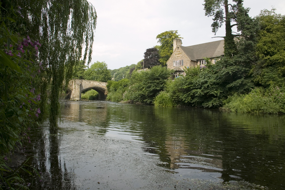
Descend Duffield Bank to the Bridge Inn, turn left down the far river bank and follow the route of the Midshires Way into Duffield and to the station.