Walks in the Cromford Area
Cromford is an early rural factory village, built by the Arkwright family, which survives largely intact and unaltered from the late 18th century. It is now one of the key historic communities within the Derwent Valley Mills World Heritage Site.
Below are a range of walks around the community including a walk leaflet to download.

Cromford Village Heritage Walk
Starting at Cromford Mills, download this numbered route to explore the community of Cromford and some of its hidden historic gems.
Discover Cromford - Cromford Village Walk
This walk will take up to an hour and includes different options (allow extra time if you take option 3). It takes in North Street, the 'Bear Pit' and the Almshouses.

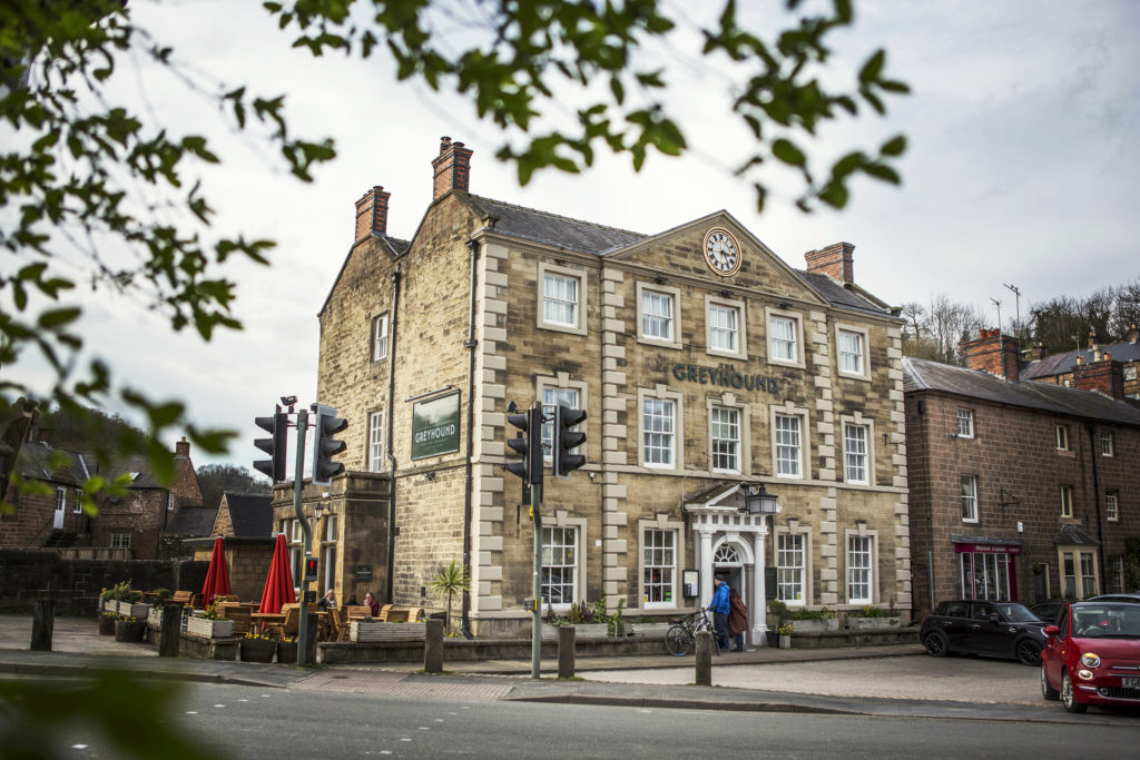
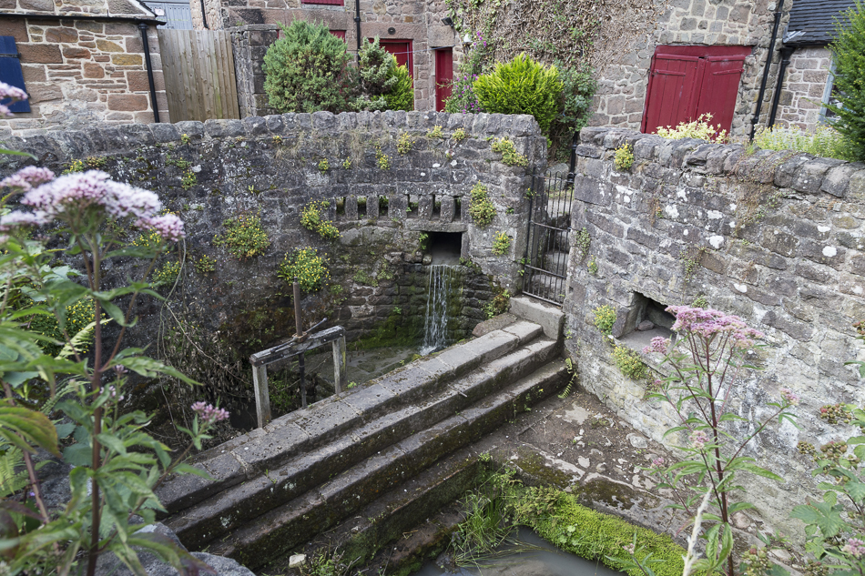
Discover Cromford - A walk around Scarthin and Chapel Hill
This walk will take about 45 minutes and takes in Scarthin, the Greyhound Pond, Water Lane, Chapel Hill and the Corn Mill pond.

Discover Cromford - A walk to Willersley Castle and the Railway Station
This walk of about an hour and a half takes in St Mary's Church, Cromford Bridge, views of Willersley Castle and Cromford Railway Station.

Discover Cromford - A walk to Cromford Mills, the Wharf and Canal
This walk will take about an hour and a half taking in Cromford Mills, Cromford Wharf on the Cromford Canal and Masson Mills.

Discover Cromford - A walk to the Gang Mine, Dene Quarry and Rose End Meadow Nature Reserve
This walk is around 3.5 miles and will take about 2 hours. Parts of the route are fairly steep. It includes a walk to the Gang Mine, Dene Quarry and Rose End Meadow Nature Reserve.