Duffield to Belper, Station to Station Walk
Scenic Station to Station Walks – Walk 1: Duffield to Belper
Distance 4 miles – starting at Duffield Station
All walks have been carefully waymarked by green discs bearing a coloured arrow. Yellow indicates footpath status to be used by walkers. Blue arrows indicate bridleway status and can be enjoyed by walkers, cyclists and horseriders. All the discs bear the legend Derwent Valley Walks.
This is Walk 1 on this leaflet: Station to Station Walks Duffield to Ambergate
A walk with a steady climb over the Chevin hillside following the ancient Portway along the ridge of the Derwent Valley, eventually dropping down into the historic town of Belper.
Leave Duffield Station car park into Station Approach and then turn right along the main A6. Pass the site of Duffield Castle.
Duffield Castle was built after the Norman conquest by the de Ferrers family, Earls of Derby, who were granted ownership of Duffield Frith, an enormous hunting forest. The family was, however, disgraced and all their land and property confiscated after the Baron’s Revolt against Henry III. Today, all that remains are the castle mound and the outline of the keep.
Continue on to turn left into Avenue Road then immediately right towards the golf club. The walk now follows the route of the Midshires Way around the rear of the golf club along a track and over a stile, then round right and up between the greens. The walk climbs steadily uphill crossing tracks until a main walled track is reached.
Turn left onto this prehistoric highway, called North Lane, and enjoy the extensive views of the valley and Belper below.
Derbyshire is crossed by many ancient trackways, some dating back several thousand years. North Lane is part of the Anglo-Saxon Portway, an important track running roughly NW and SE across Derbyshire. This stretch was also used by the Romans to carry lead from the Wirksworth area to Duffield and – even earlier – is believed to have been a Celtic ridge route. Along the route, an unusual stone wall can be seen on the right. This is part of the firing range, a shooting butt built in the nineteenth century for the local militia to use for target practice.
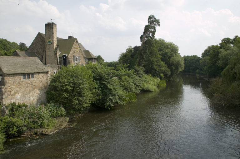
Excellent views over Belper can be seen from North Lane. The northern part of the town is dominated by the Strutts’ cotton mill. Jedediah Strutt was a business partner of Richard Arkwright and built his first mill here in 1776. The North Mill, which stands overlooking the Derwent, was built in 1804 by Jedediah’s son, William Strutt, and is a forerunner of the modern skyscraper – inside, a museum explains the story. One of Strutt’s workers, Samuel Slater, learnt the cotton production process at Belper, before quietly emigrating to America, disguised as a farm labourer, to revolutionise industry there.
Just before the lane turns 90 degrees to the left, turn right into fields (thereby leaving the Midshires Way) and go downhill, turn left at the road and then soon right. Head past the house on the left, then cross a series of fields downhill to the River Derwent and follow the path upstream to Belper Bridge.
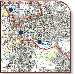
After passing the town’s historic mills, and going under the 1795 ‘gangway’ bridge, turn right and find the way to the station using the town centre map.