Celebrating Maps of the Derwent Valley Mills

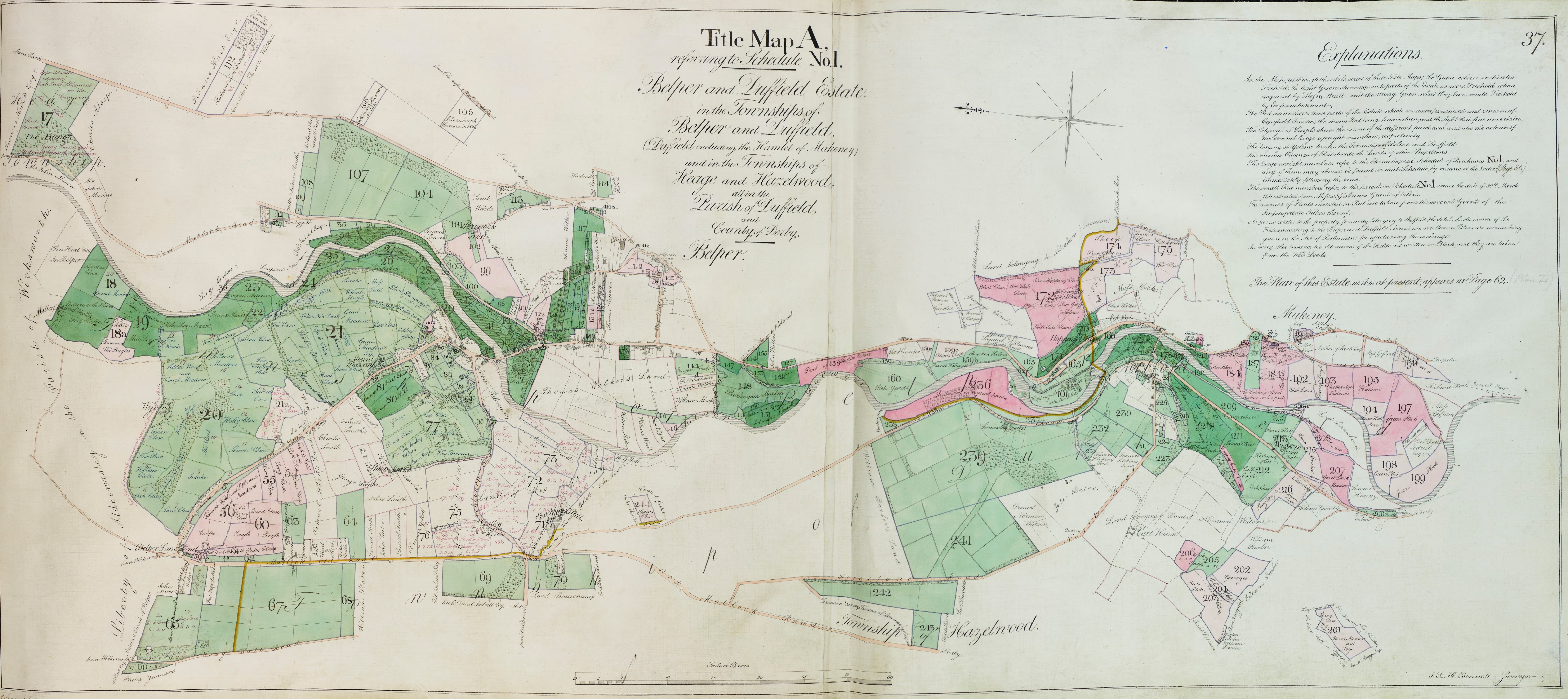
The Charted Territory exhibition of digitised historic maps of the Derwent Valley Mills World Heritage Site is now available to view on the Google Arts and Culture platform. The online exhibition celebrates not only the informative and often beautiful historic maps and plans, but also the project created to digitise them.
Born out of the Great Place Scheme, funded by National Lottery Heritage Fund and Arts Council England, a dedicated group of local volunteers catalogued over 200 historic maps and plans of the World Heritage Site held at the Derbyshire Record Office. Over 40 of these maps have been digitised to make them easily accessible to researchers and anyone who is fascinated by the story that these maps tell.
Many of the maps featured in the exhibition are from the archive of the Strutt family who owned a large amount of land and property in the area.
There is a portal where the maps can be accessed in detail:
Derbyshire Heritage Mapping Portal
There is also a physical exhibition which can be hired from the Record Office when we are able to get out and about again.
Record Office exhibitions – Derbyshire County Council
The Charted Territory exhibition, and other exhibitions from the record office, can be accessed via the Derbyshire Record office website.

